Home › Routes › Motorcycle routes › Col du Galibier
A high pass at 2,642 metres between Savoie and Hautes-Alpes, on the Route des Grandes Alpes. Here is what you need to know before you ride it: season, the summit tunnel, notes for motorhomes, and where the road is on the AlpRoute map.
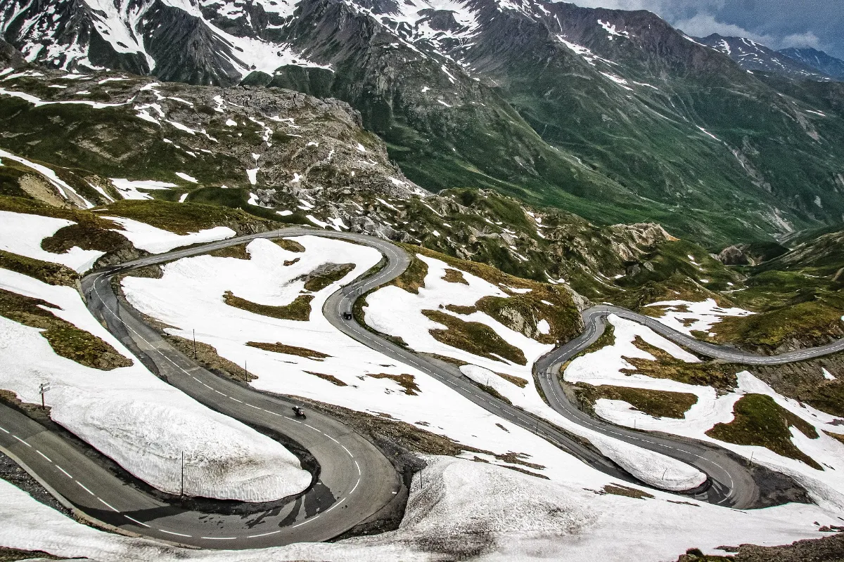
| Altitude | 2,642 m, between the Savoie and Hautes-Alpes departments [1] |
| Road | D902; the summit road on the Hautes-Alpes side is the D902B [4] |
| North side | From Valloire 18.2 km; from Saint-Michel-de-Maurienne over the Col du Télégraphe 34.9 km [1] |
| South side | From the Col du Lautaret 8.6 km [1] |
| Season | Generally June to September, sometimes until early October. Snow is not unusual in summer [1] |
| Summit tunnel | 370 m long and 4 m wide, closed to cyclists [1]. Opens for the summer season; reopened on 28 May in 2025 [2] |
| Width | Narrow from the tunnel to the pass, on both sides [1] |
| Over 3.5 t | A 2025 Savoie department permit refers to a traffic order of 29 May 2002 restricting vehicles over 3.5 t on the D902 between Bonnenuit and the Galibier tunnel. Check the current rules with the Savoie department before you go [3] |
| Cycling mornings | In 2026 the Hautes-Alpes side was closed to motor traffic on 29 June, 16 July and 4 August, 9:00–12:00 [4]; the Savoie department announced closures on its side on the same days [5] |
For the Savoie side, the department publishes road information on savoie-route.fr [5].
Narrow near the top. Watch for cars, other motorcycles and camper vans [1].
Narrow road from the tunnel to the pass [1].
A 2025 Savoie department permit refers to a 2002 traffic order restricting vehicles over 3.5 t between Bonnenuit and the Galibier tunnel [3].
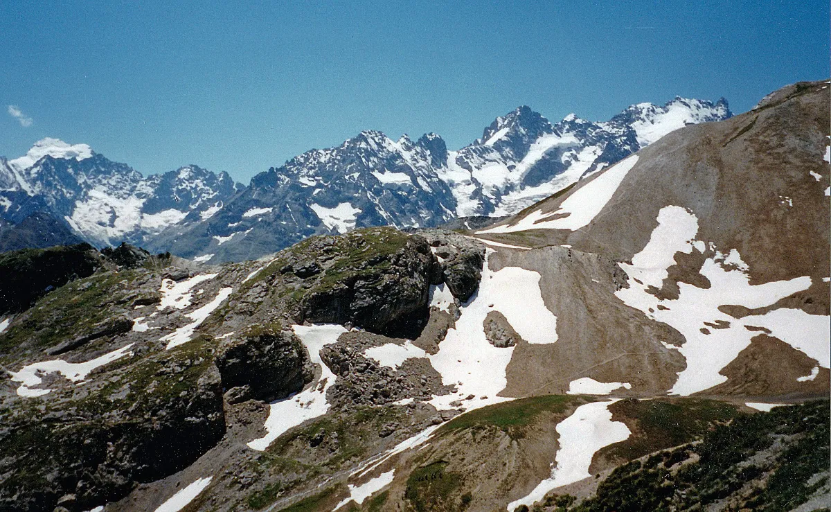
From the north, the road leaves Saint-Michel-de-Maurienne, crosses the Col du Télégraphe and passes through Valloire before climbing to the pass [1]. From the south, it starts at the Col du Lautaret [1]. From the top, on a clear day, Mont Blanc is visible in the distance; towards the south are the Écrins massif and La Meije [1].
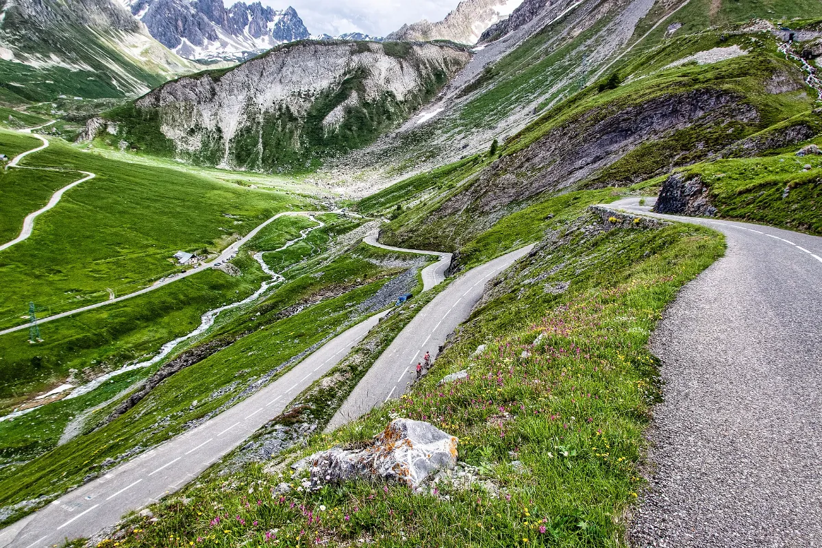
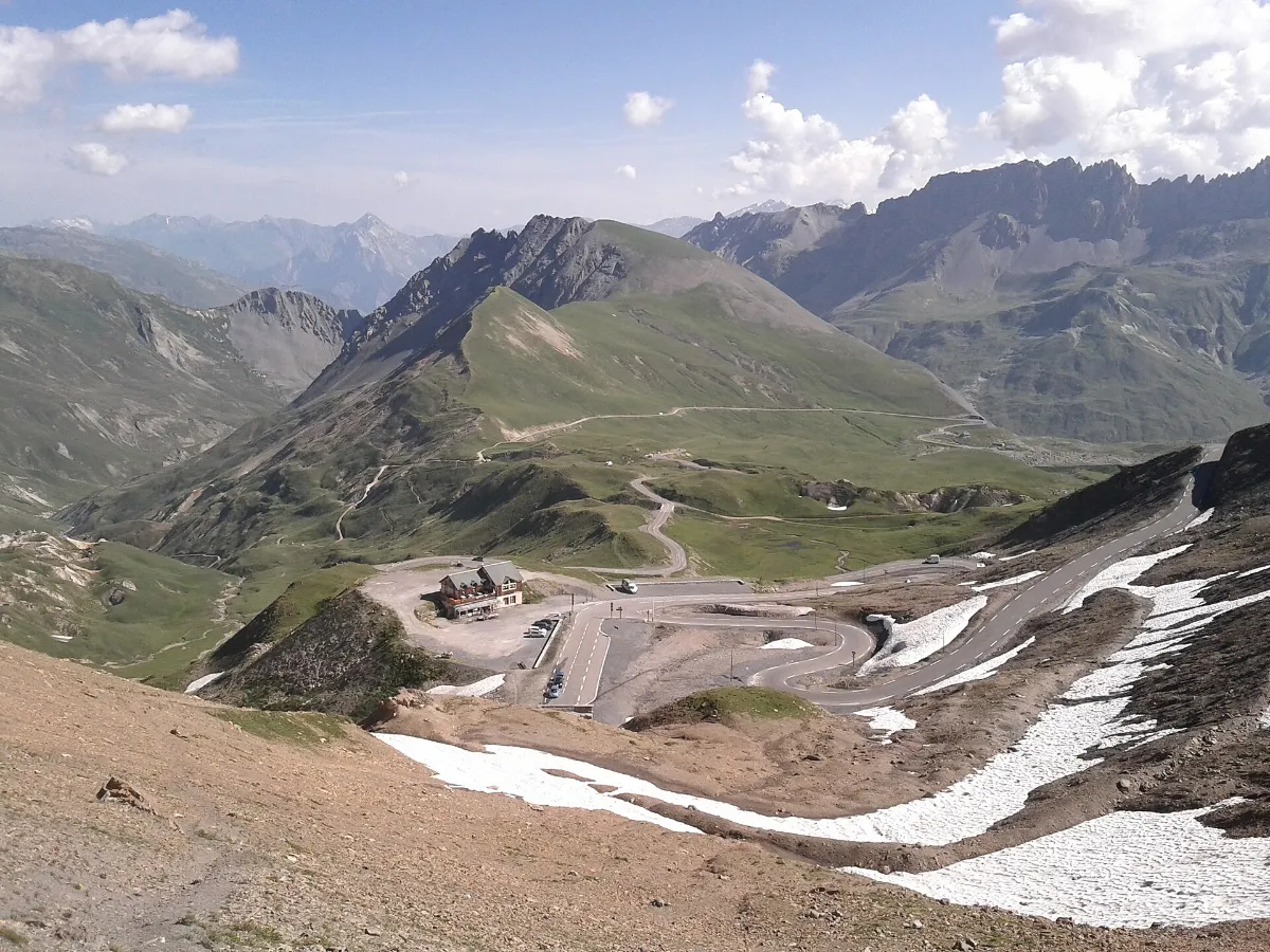
The Col du Galibier is one of the Legendary Routes in AlpRoute: the road is drawn bend by bend on the map, free of charge, no account needed. Around it you can see campsites and other overnight stops; with the motorcycle profile you can filter for motorcycle-friendly places.
Open the Col du Galibier route in AlpRoute
The map opens directly on the road. Planning your own multi-stop tour with GPX export is part of AlpRoute Pro, a paid subscription.
AlpRoute does not show today’s opening status, road conditions or live traffic. Opening dates and closures are published by the Savoie and Hautes-Alpes departments. Check them before you set off, especially early and late in the season.
The Route des Grandes Alpes says the pass is generally open from June to September, sometimes until early October, and snow is not unusual in summer. The tunnel below the summit opens for the summer season; in 2025 the Hautes-Alpes department reopened it on 28 May. Check the current status before you set off.
The pass is at 2,642 m, on the border between the Savoie and Hautes-Alpes departments, according to the Route des Grandes Alpes.
The Route des Grandes Alpes says the road is narrow from the tunnel to the pass, on both sides, and asks drivers to watch for cars, motorcycles and camper vans. If your motorhome is heavier than 3.5 t, note that a 2025 Savoie department permit refers to a traffic order of 29 May 2002 restricting vehicles over 3.5 t on the D902 between the hamlet of Bonnenuit and the Galibier tunnel. Check the current rules with the Savoie department before you go.
Yes. In 2026 the Hautes-Alpes department closed its side, the D902 and the D902B summit road, to motor traffic from 9:00 to 12:00 on 29 June, 16 July and 4 August for cycling mornings. The Savoie department announced closures on its side on the same days. Dates change every year.
No. AlpRoute does not show live opening status, road conditions or traffic. For the Savoie side, the department publishes road information on savoie-route.fr; check it before you set off.
Photos from Wikimedia Commons under Creative Commons licences; author, source and licence are named under each photo. The photos were resized and converted to WebP; no other changes were made. The resized versions of CC BY-SA photos are shared under the same licence.


